map
The LabFeatured Projects

Cartografias
da Ilha

Type
Workshop, research
Year
2026
Place
Escola João Jorge Filho
Estandarte Island, Maranhão, Brazil
With
1st and 2nd grade students
Status
Ongoing
XR experiment, from Estandarte, Brazil, to Aveiro, Portugal

About the work

What sensitive cartographies emerge when a community maps its own sense of belonging?

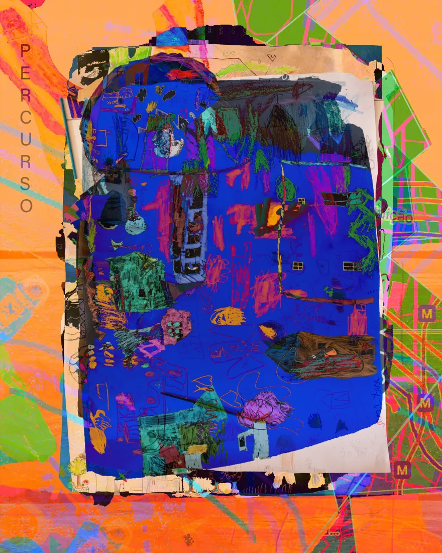
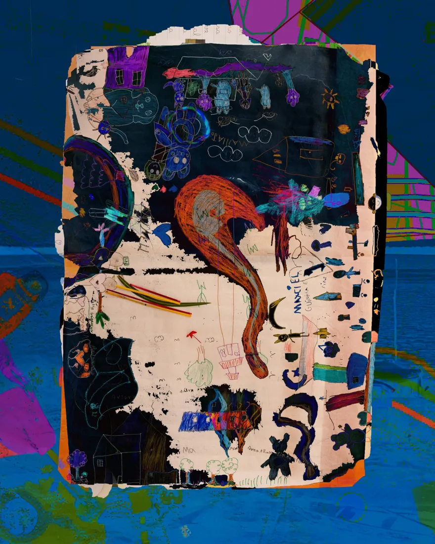
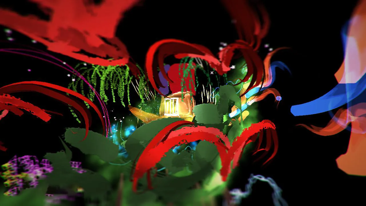
Not static maps, but lived ones, shaped by memory, movement and the relationships a place holds. On Estandarte Island, in Maranhão, Brazil, the children drew the island as they experience it. Their drawings and stories became physical and digital elements, testing how local cartographies can generate new spatial realities across media.
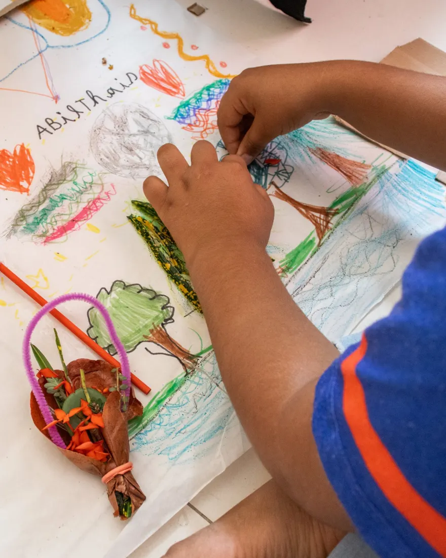
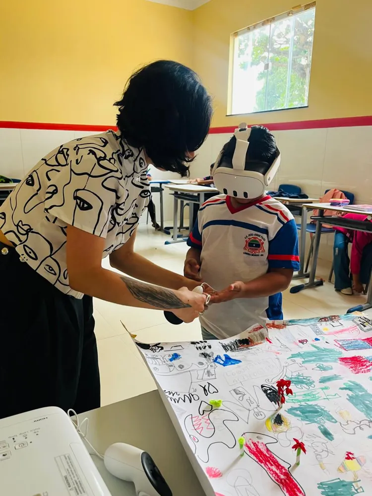
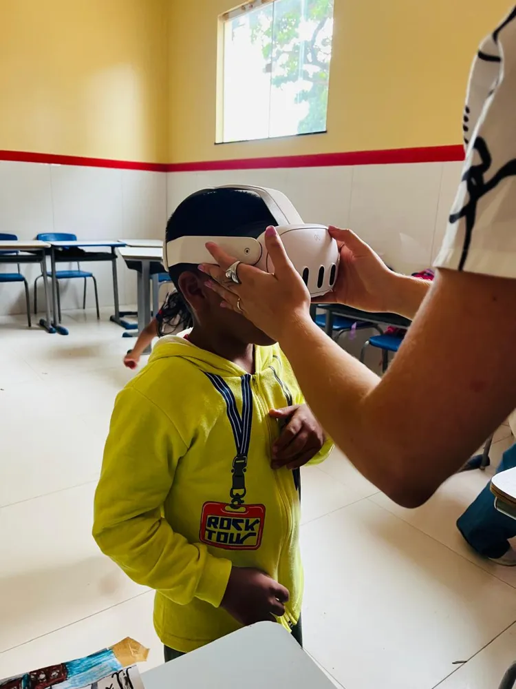
A child's hands drawing trees and water, beside small objects made of pipe cleaners, leaves and flowers The artist handing a VR controller to a child wearing a headset, the children's drawing on the table Hands adjusting a VR headset on a child in a yellow hoodie, in the classroom
Facilitating the workshop
Collage of the children's drawings in deep blue over an orange map, with the word Percurso Collage of the children's drawings over a blue sea: houses, a red serpent-like form, names written in pencil
Drawings
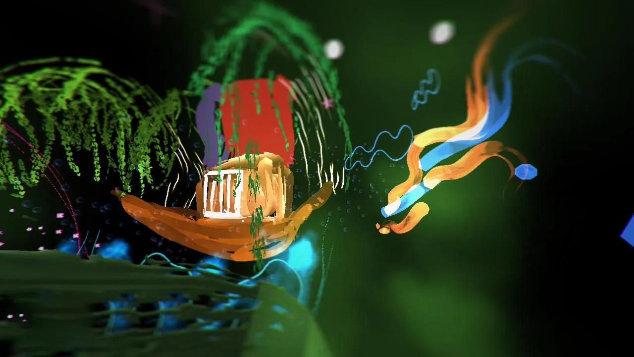
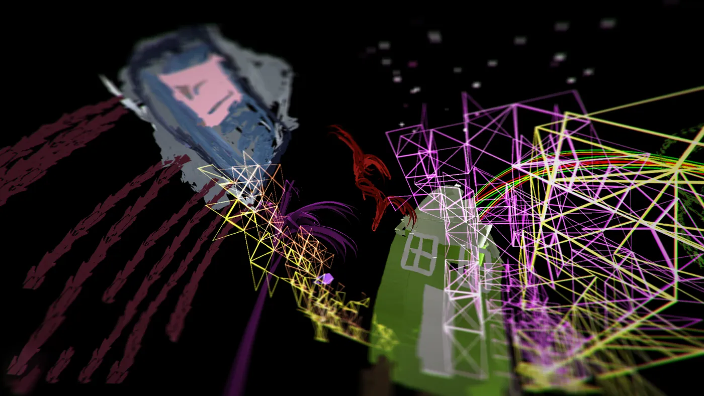
XR still: red brush strokes and green hanging lines around a little house drawn by the children XR still: an orange drawn boat-house with a white window, blue and orange ribbons beside it XR still: a painted face, a green house and pink and yellow wireframe triangles in the dark
From drawing to headset: XR stills